Transform Platform
Make informed decisions with confidence and ensure environmental and social sustainability in your supply chains using our actionable intelligence.
Get started FeaturesMake informed decisions with confidence and ensure environmental and social sustainability in your supply chains using our actionable intelligence.
Get started FeaturesThe datasets powering the Transform Platform:
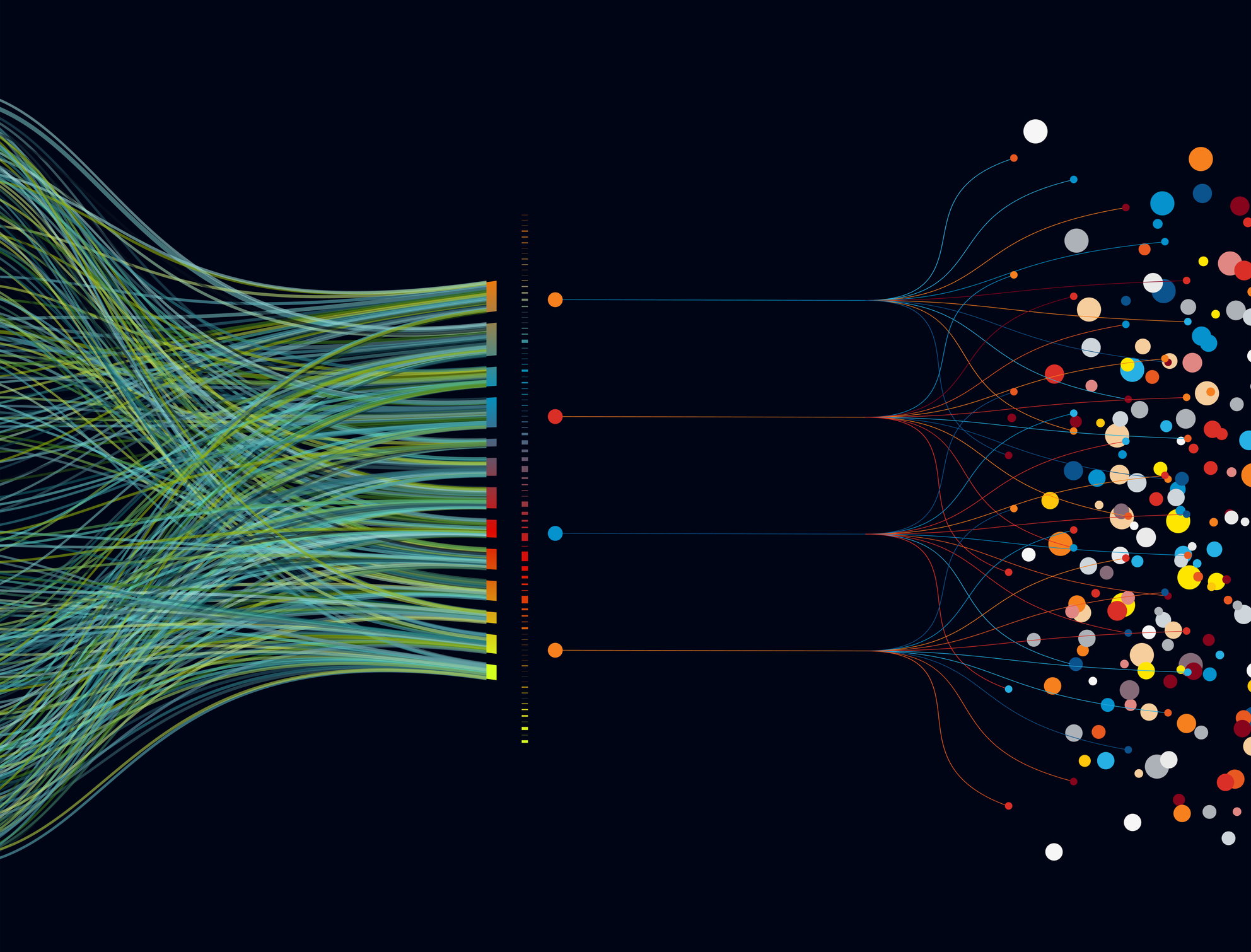
Our approach leverages cutting-edge remote sensing and GIS technology, our unparalleled insight on the plantation and concession level, plus our network in the industry.
Risk assessment tool to monitor supplier groups for NDP compliance and deforestation
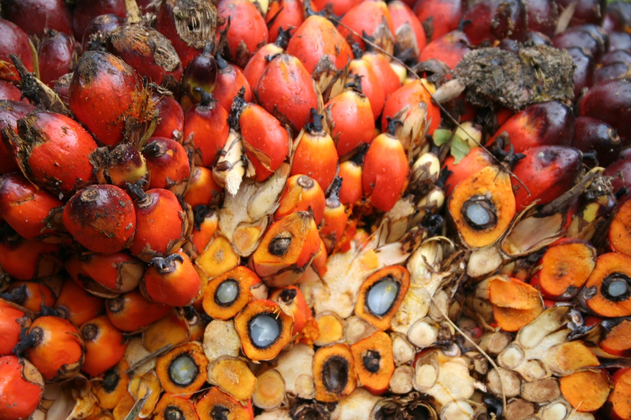
Trace palm oil supply from 52 countries all the way to its origin for end-to-end visibility
Enabling Business-to-Business verifications of No-Deforestation Claims


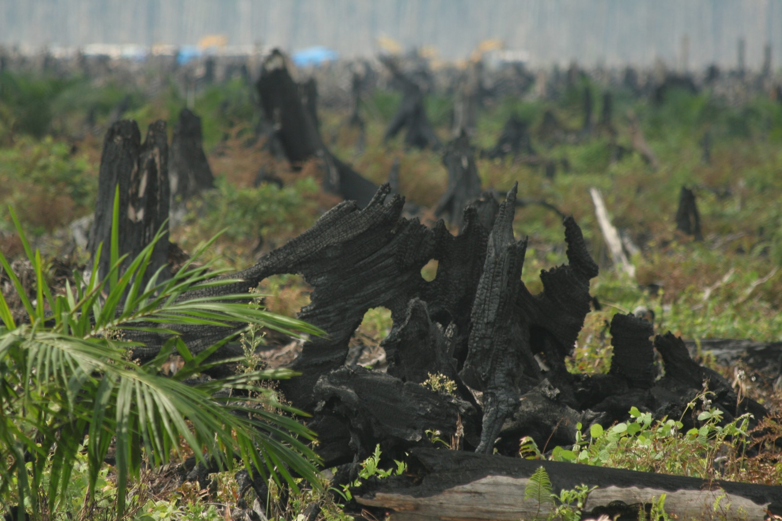
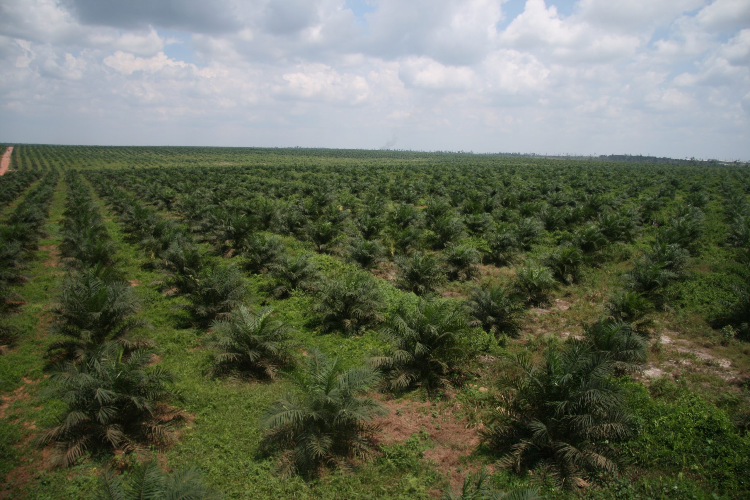
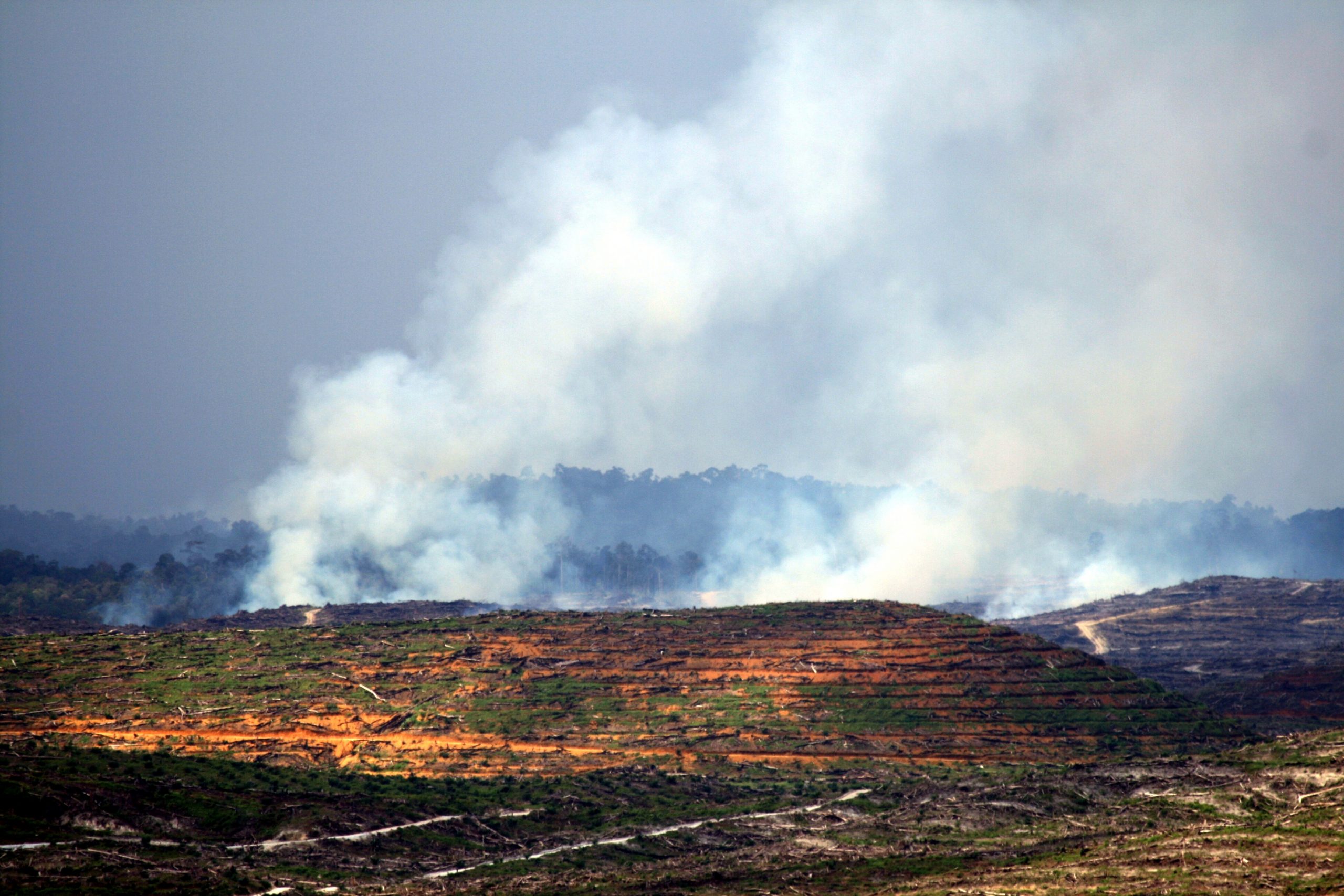
Through our partnership with Earthqualizer, we can now remotely monitor landbanks that are six times the size of Wales – enabling us to live up to our commitment to transparent supply chain monitoring & sustainable palm production.

Since 2015, Musim Mas has been working with Earthqualizer as a partner for monitoring deforestation in our supply base, as well as promoting inclusive smallholder, social forestry in Aceh Singkil and Sambas district and stakeholder engagement at landscape level.