Deforestation Monitoring Beyond Concessions
Spatial datasetDeforestation on the land of plantation companies and major growers has long been under the spotlight. Nonetheless, smallholders and out-growers […]
READ
Research
Global
Agriculture (oil palm, rubber)
Data Use Agreement
Remote Sensing, Land Use Change Analysis, Spatial Intelligence
9
100+
November 2021
October 2022
Monthly
17.7 GB
XLS, SHP, GEOJSON, KML
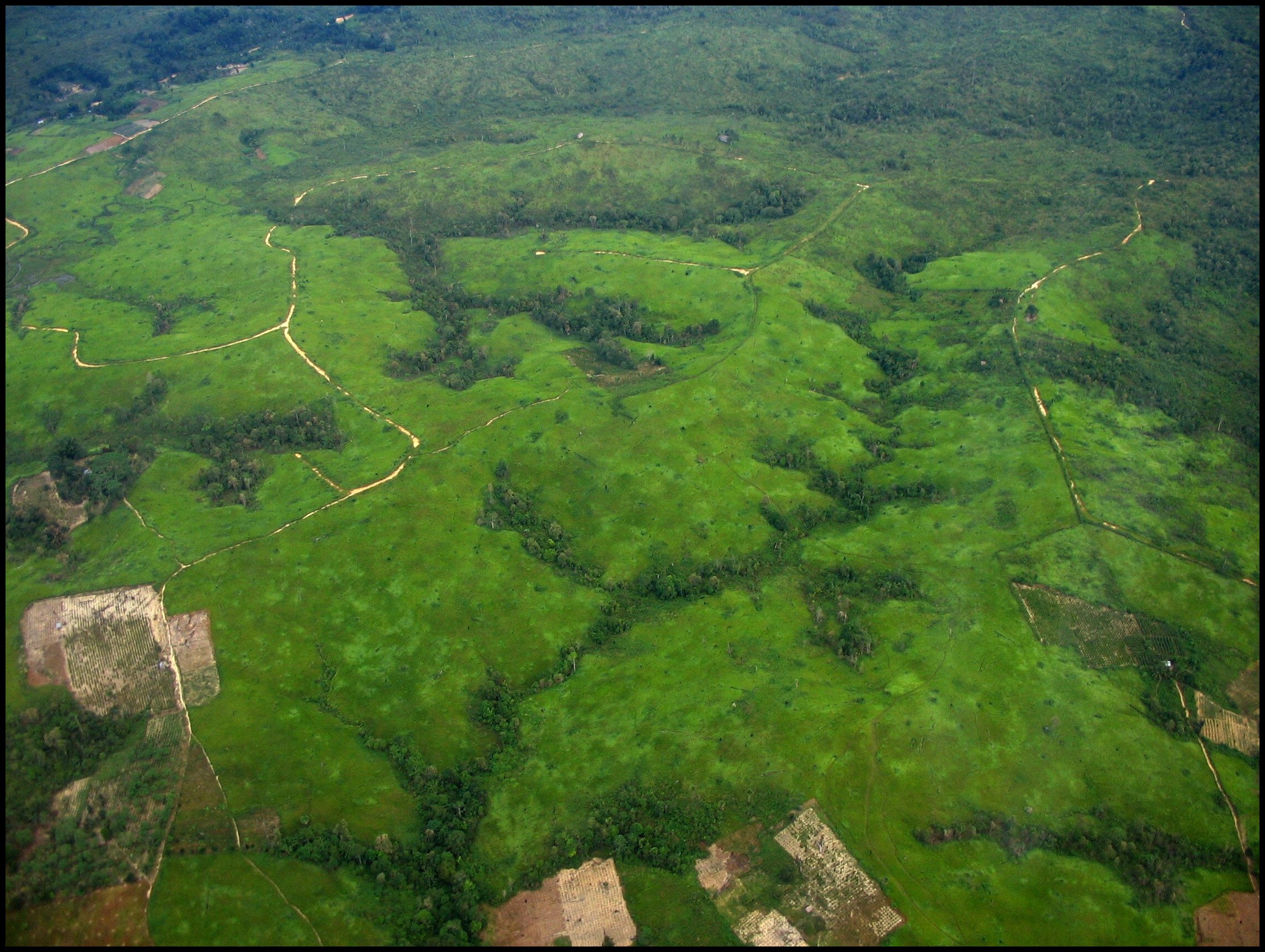
Deforestation on the land of plantation companies and major growers has long been under the spotlight. Nonetheless, smallholders and out-growers beyond these concessions also contribute to commodity-driven deforestation. These smaller players may see restrictions on their access to key markets such as the EU, when stricter regulation and demands for deforestation-free commodities comes into force. The vast amount of smallholders in the supply base and the complexity of the trade structures require targeted and actionable intelligence that can help inform whether the smallholders and out-growers in the supply chain are involved in deforestation.
Building upon our strength in remote sensing and comprehensive database on the smallholder land parcels, we have developed a tailored monitoring program to detect land clearing and deforestation beyond companies’ concession boundaries. More importantly, our in-house analytics are able to distinguish the clearance by smallholders from companies and out-growers, as well as link them to specific palm oil mills and supply chains.
The Monitoring includes:
• Local and regional administrative boundaries within Southeast Asian countries
• Supply chain links to surrounding oil palm dealers and mills
• Dataset on remaining forested and peat areas
• Verified multiple deforestation alerts such as RADD, GLAD & Sentinel-1.